Dokriani Glacier
 Dokriani Glacier located on the way to Draupadi Ka Danda is at an height of arround 13500 feet. .It serves as a Advance Base camp for the climb to Mount Jaon lee or Draupadi Ka Danda. The length of the Glacier upto the snout where the dingad river starts is about 5 Kilometers.
 The glacier has an altitude Variation between 5,600m To 6,000m
Dokriani Glacier is also known by the name of Dokriani Bamak as Bamak is the local name for the glaciers. It is a well-developed medium sized glacier of the Bhagirathi basin.
 well-developed medium sized glacier of the Bhagirathi basin.
 The glacier is formed by two cirques, originating at the northern slope of Draupadi Ka Danda and Jaonli Peak, 5,600 m and 6,000 m respectively.
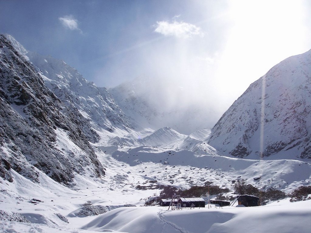
The glacier is 5-km long and flows in the northwest direction .The snout of the glacier is located at an elevation of 3,800m from where the Dingad River originates .This river which is a glacian stream finally joins the many other snow/ice-melted streams and finally merges into Bhagirathi River near Bukki village.
There are several well-developed meadows and proglacial lakes located 2 km below the snout of the glacier. These meadows, lakes and other formations themselves tell their past history and behaviour of the glacier and also provide good camping sites.


Comments